Topography in AutoCAD
This programme is presented to you by:
Brates 14/10
400566 Cluj
Romania
| E-mail: | office [at] rcad [dot] eu |
| Phone: | 40-(0)745667067 |
| Facsimile: | 40-(0)745667067 |
| Website: | www.rcad.eu |
| Support: | www.rcad.eu |
| Category: | Graphic Apps / CAD |
| Version: | 2.3 |
| Release date: | 2022-12-29 |
| Size: | 2.46 MB |
| OS: | Win 2000 / XP / 2003 / Vista / 7 / 8 / 10 |
| Requirements: | AUTOCAD version at least 2010 or BricsCAD at least V14 |
| Languages: | German, English, Other |
| Downloads: | 0 in April / 17 in total |
Rating: 1.86/10 (7 votes cast)
| Download: | http://rcad.eu/a_triang.zip |
| Infopage: | http://rcad.eu/triangulation-autocad |
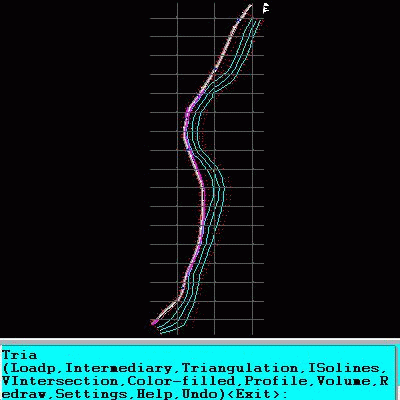
An add-on for AUTOCAD or BricsCAD, which makes the triangulation of a set of POINT entities, the intersection curves (isolines) between a set of 3DFACE entities and a set of equidistance plans, horizontally or vertically and the volume and center of gravity of a set of bodies or between surfaces composed of 3DFACE entities. You can also load and draw a file of points having the format: Number X Y Z Code. The drawing of the XYZ files is made with POINT, 3DPOLY, SPLINE or BLOCK entities, according to a modifiable library of codes. The triangulation is performed on a convex hull of a set of points. You can triangulate million points! The isolines can be interpolated and their colors are according to a drawn legend. The isolines having Z a multiple of a value will be drawn thickened. You can define a clipping parallelepiped for isolines. You can also make the projection over a triangulation of a 2D POLYLINE and generate cross sections and a longitudinal profile corresponding at projection. The POLYLINE may contain arcs. Color-filled contour maps can be also generated.
In addition, you can draw a DWG file in Google Earth, by generating a 2D or 3D KML file type. The DWG file can be in any projected coordinate system and from any part of the globe.
It is also possible to determine the flatness of the surfaces and you can import and export LandXML file type!
Here you can subscribe for the update infos for this programme. You will then receive an e-mail notice each time an update has been submitted for this programme.
In order to subscribe for the update infos, please enter your e-mail address below. You will then receive an e-mail with a link, which you need to click in order to confirm you subscription.
You can unsubscribe from the list at any time. For this purpose, you will find a link at the end of each update info e-mail.
This service is completely free of charge for you.