RoboGEO
Dieses Programm wird Ihnen präsentiert von:
1746 N Lovvorn Rd
37037 Christiana
United States
| tim [at] robogeo [dot] com | |
| Website | www.robogeo.com |
| Kategorie: | Grafik / Editoren |
| Version: | 6.3.2 |
| Release-Datum: | 25.02.2012 |
| Größe: | 9,28 |
| Betriebssystem: | Win 7 / 2000 / Server / XP / Other |
| Anforderungen: | Windows XP/2000/Vista/Win7 |
| Sprachen: | Englisch |
| Downloads: | 5 im August / 350 insgesamt |
Bewertung: 4,20/10 (5 Stimmen abgegeben)
| Download: | www.robogeo.com/home/rgeo.msi |
| Mirror 1: | www.robogeo.com/home/rgeo.zip |
| Infoseite: | www.robogeo.com |
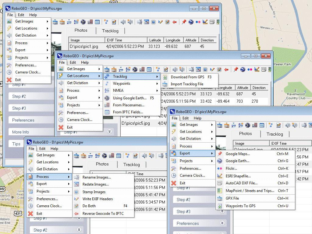
Geocode digital images with latitude, longitude, altitude, and direction information. RoboGEO stamps this information onto the images or writes it to the EXIF, allowing you to permanently geocode and link your photos to the GPS coordinates. All writing to the EXIF and IPTC headers is lossless and all of the existing comments (including the MakerNote and the Adobe XMP metadata) are preserved. Includes a Picasa-style geotagger for Google Earth. Create web pages that use Google Maps, export KML or KMZ files to Google Earth, upload geotagged photos to Flickr, export ESRI SHP shapefiles, export to MapPoint, or export DXF files to AutoCAD or IntelliCAD. Show the photo direction on maps and calculate it from the GPS tracklog. Merge EXIF or IPTC tags into the image titles and descriptions. Record dictation using any modern digital voice recorder and automatically associate audio with the photos. Rotate or redate images based on the EXIF info. Export GPX files. Edit the EXIF times. Lookup altitudes knowing only lat/lon. Photo locations can be projected to a new location in either ground or airplane mode. Free EXIF/IPTC viewer. Geocode any type of JPG, PNG, BMP, TIF, DNG, NEF, CR2, MRW, ERF, RAF, ORF, PEF, ARW SR2, SRW, RW2, RAW, RWL, and MEF. Directly supports Garmin GPS units (USB or COM), but no GPS is required. Geocode images from a GPS tracklog, KML or KMZ files, NMEA sentences, waypoints, known place names OziExploer PLT files, or TCX files. Import GPX files for interfacing with other GPSs like Magellan and Trimble. Import shapefiles. Rename images per the EXIF data. IPTC editor. UTM and MGRS support. Use any digital camera. Internationally aware. Very easy to use. Nice user interface. Can be fully automated from the command line. Perfect tool for aerial photography, land surveyors, engineers, insurance claim adjusters or anyone who needs to collect field data for integration into a GIS system. Affordable. Free lifetime upgrades. Extensive documentation.
Einblenden / Ausblenden
Hier können Sie die Update-Infos für dieses Programm abonnieren. Sie erhalten dann zukünftig eine Benachrichtigung per Email, sobald ein Update zu diesem Programm eingetragen wurde.
Um die Update-Infos zu abonnieren, tragen Sie nachfolgend Ihre E-Mail-Adresse ein. Sie erhalten dann eine E-Mail mit einem Link, über den Sie das Abo bestätigen müssen.
Sie können die Update-Infos jederzeit wieder abbestellen. Hierzu finden Sie am Ende jeder E-Mail mit Update-Infos einen entsprechenden Link.
Dieser Service ist für Sie vollkommen kostenlos.
Kommentare zu RoboGEO
Einblenden / Ausblenden
Bisher gibt es keine Kommentare zu diesem Programm.
Selbst einen Kommentar schreiben